Category Page: Climate Change

Give me all your love and I will fly across the sky
May 11, 2016 / 0 comments
I know every one is not popular in World
May 11, 2016 / 0 comments
Minimalist Postcards Of Superheroes
May 11, 2016 / 0 comments
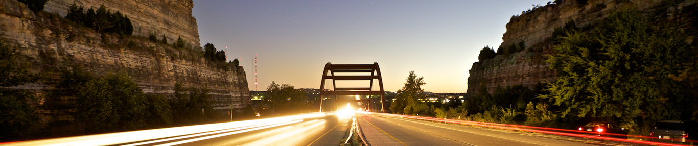
Epic Weekend At The Lake Sunset View
May 11, 2016 / 0 comments
We Can Work To Stop Baggery
May 11, 2016 / 0 commentsStudy shows cloud patterns reveal species habitat
Much of Earth’s biodiversity is concentrated in areas where not enough is known about species habitats and their wider distributions, making management and conservation a challenge. To address the problem, scientists at the University at Buffalo and Yale University used NASA satellite data to study cloud cover, which they found can help identify the size and location of important animal and plant habitats.
Clouds influence such environmental factors as rain, sunlight, surface temperature and leaf wetness—all of which dictate where plants and animals can survive. As part of their study, researchers examined 15 years of data from NASA’s Earth-orbiting Terra and Aqua satellites and built a database containing two images per day of cloud cover for nearly every square kilometer of the planet from 2000 to 2014.
The study found that variations in cloud cover sharply delineated the boundaries of ecological biomes relevant to many unique species.
The study was published in the journal PLOS Biology on March 31.
“When we visualized the data, it was remarkable how clearly you could see many different biomes on Earth based on the frequency and timing of cloudy days over the past 15 years,” said lead scientist Adam Wilson, who conducted the majority of the research at Yale University and is now an assistant professor of geography at the University at Buffalo. “As you cross from one ecosystem into another, those transitions show up very clearly, and the exciting thing is that these data allow you to directly observe those patterns at 1-kilometer resolution.”
Cloud cover also helped the researchers better predict where specific species live. By taking cloud patterns into account, the team was able to determine the size and location of habitats for the montane woodcreeper (a South American bird) and king protea (a South African shrub) in unprecedented detail and accuracy. That finding is particularly exciting because the technique could be used to research the habitats of threatened plants and animals, said co-author Walter Jetz, associate professor of ecology and evolutionary biology at Yale University.
“Understanding the spatial patterns of biodiversity is critical if we want to make informed decisions about how to protect species and manage biodiversity and its many functions into the future,” Jetz said.
The study demonstrates how remote sensing can be a powerful tool in those efforts, Wilson said. “That’s one of the really exciting developments in the field today. We now have decades of satellite observations that we can pull together to characterize the global environment,” he said, noting that Aqua and Aura have been collecting two images per day everywhere on Earth for well over a decade. “It is exciting to now be able to tap into this large stack of detailed data to support global biodiversity and ecosystem monitoring and conservation.”
Scientists scrutinize Arctic gas flaring pollution
Flaring of waste natural gas from industrial oil fields in the Northern Hemisphere is a potential source of significant amounts of nitrogen dioxide and black carbon to the Arctic, according to a new NASA study.
Nitrogen dioxide is a well-known air pollutant and health hazard, and black carbon, also known as soot, is an agent of global warming that is critical for understanding climate change effects in the Arctic. In addition to absorbing sunlight while aloft, which heats the air, black carbon darkens white snow when it settles on the surface, accelerating snowmelt. The amount of black carbon that reaches the Arctic is currently poorly estimated.
Scientists hadn’t found all the sources of black carbon that ends up in the Arctic, a puzzle that was brought to the Goddard group by Joshua Fu, an atmospheric modeler at the University of Tennessee at Knoxville. The atmospheric modeling community, which runs computer simulations of Earth’s atmosphere, uses emission inventories reported by governments or compiled by researchers as a starting point for simulating pollution trajectories throughout the atmosphere. However, their results generally underestimated the amount of black carbon reaching the Arctic when compared to direct field measurements, Fu said.